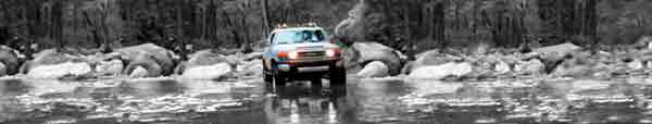


И карта Измененная озиком 3Д:
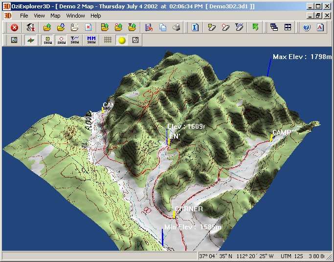
http://www.oziexplorer.com/
Гвардеец

Відправлено 26 October 2007 - 11:27
Строг и несправедлив

Гвардеец
Гвардеец
Гвардеец

Гвардеец
Відправлено 26 October 2007 - 14:47
Я ща качаю эти самые высотные файлы с ФТПишника НАСА.Ironman
Лучше пошагово растолкуй как правильно проинсталить и настроить. Что и где качать, ну или на ФТП.
Давно собираюсь одолеть, да всё как-то не досуг :smoke:
Строг и несправедлив
Юнкер

Відправлено 29 October 2007 - 09:41
Гвардеец
Гвардеец
Юнкер

Відправлено 31 October 2007 - 11:32
Гвардеец
Відправлено 31 October 2007 - 12:21
Version 1 of the SRTM data consists of the original Digital Elevation Models produced
by the SRTM project with data from the STS-99 mission in Feb., 2000, and delivered to
the National Geospatial-Intelligence Agency (NGA.) These data are unedited and
contain spurious data points in area of low radar backscatter such as water bodies.
Version 2 is the results of a substantial editing effort by the NGA and exhibits well
defined water bodies and coastlines and the absence of spikes and wells (single pixel
errors), although some areas of missing data (‘voids’) are still present. The Version 2
directory also contains the vectorized coastline mask used by NGA in the editing, called
SRTM Water Body Data (SWBD), in shapefile format.
Version 2 is a superior product and it is recommended for most users.
Юнкер

Гвардеец
Відправлено 05 February 2008 - 01:13
 UserIma.jpg 134.75К
111 Кількість завантажень:
UserIma.jpg 134.75К
111 Кількість завантажень:


0 користувачів, 1 гостей, 0 прихованих користувачів


